ESRI shape file
Type of resources
Topics
Keywords
Contact for the resource
Provided by
Formats
Representation types
Update frequencies
Scale
-

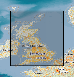
This is a digital version of the paper based 1:1M scale Offshore Quaternary map, North and South sheets. Customers should be aware that, given the age of the paper based maps, the digital version is not quality assured and BGS can accept no liability for the information held on the digital map. In addition, published 1:250,000 Quaternary maps are available. These contain more detailed subdivision of the Quaternary succession. The original paper based map covers the UK Continental shelf. The paper map is symbolised using lithology and chronology. The lithological boundaries were compiled from the data published in the BGS 1:250,000 Quaternary Geology map series and from revised interpretation of core and borehole data. Core and borehole sites are commonly 5 to 20 km apart, thus the lithological divisions are generalised. The formations and sequences identified by BGS have been grouped into Quaternary age ranges. The geological codes assigned to the digital version of the map have been compiled using the key information held on the paper map. The LEX-ROCK style codes combine the lithology and chronology and have been subject to the standard BGS approval process.
 NERC Data Catalogue Service